FLOODWISE - Open GeoAI Repository for Flood Risk Management
Science cluster & challenges

Summary
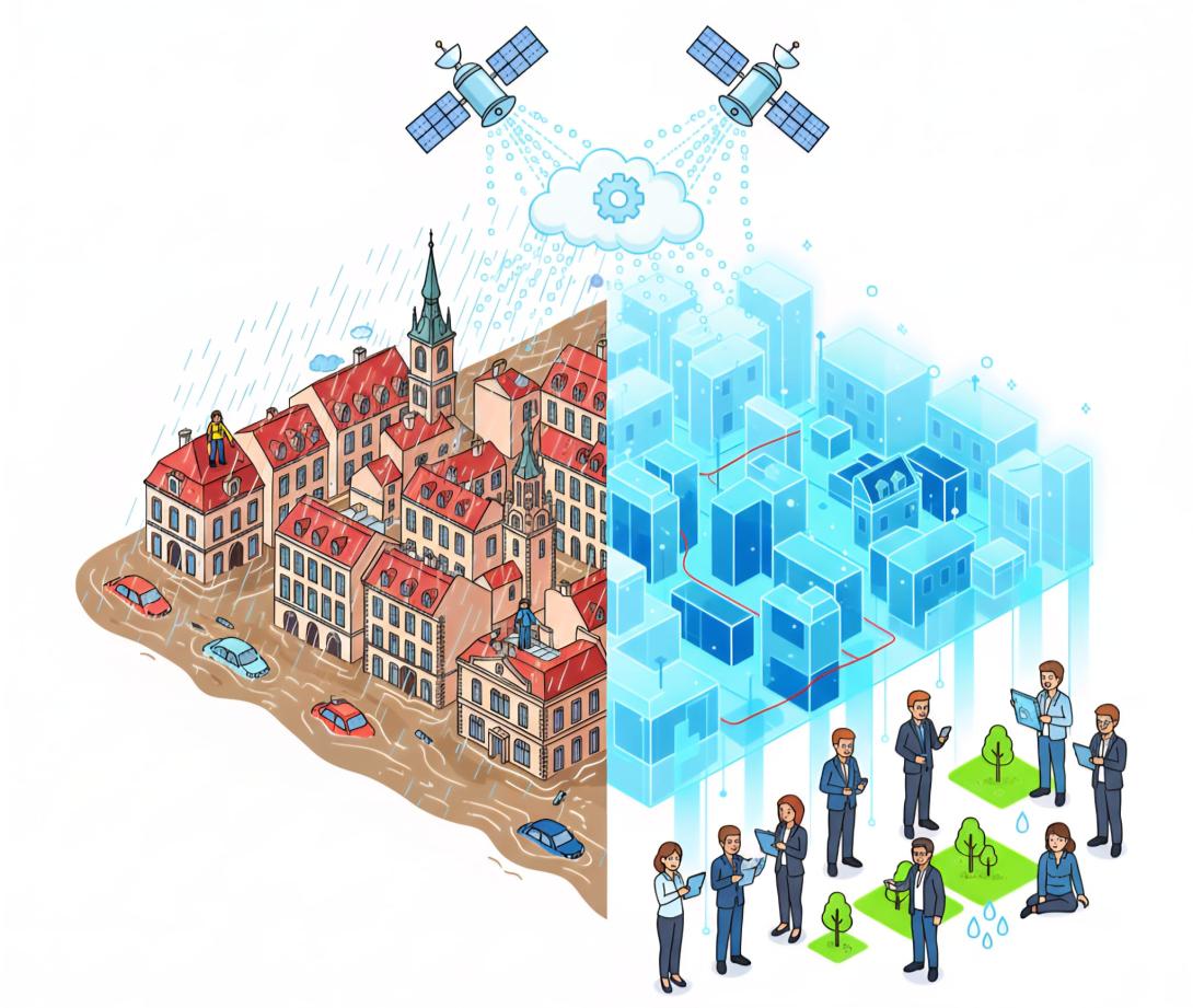
European cities are increasingly exposed to severe flood events driven by climate change, expanding urbanisation, and ageing infrastructure. Catastrophic events highlight the urgent need for smarter, data-driven approaches to flood risk management. FLOODWISE responds to this challenge by developing an open GeoAI repository that integrates cross-domain FAIR data to improve forecasting, scenario planning, and urban flood risk assessment.
Challenge
Traditional approaches to natural disaster risk management often fall short due to fragmented data systems, outdated modelling methods, and limited access to open data-driven decision support tools. Historical damage records are often siloed and inconsistently documented limiting their use in building interoperable datasets. Moreover, existing models rarely predict actual damage probability, leaving a critical gap for cities seeking to adapt to increasing climate pressures.
Ensuring interoperability across heterogeneous data sources - ranging from hydrological models to Earth Observation datasets - remains another major obstacle.
Solution
FLOODWISE aims at developing an open, unified, FAIR-compliant GeoAI (Geospatial Artificial Intelligence) repository centred on a semantic interoperability engine that forms the backbone of its open data repository. This engine aligns fragmented and heterogeneous data (historical reports, hydrological models, Earth Observation data) into a unified FAIR-compliant knowledge base supporting data management within the open GeoAI repository, enabling integration and reuse across domains, thus supporting effective forecasting and scenario planning in flood risk management.
The repository will ensure that data are FAIR through common metadata, open protocols, and shared standards. It will be composed of three interoperable tools: the Hazard Identification Tool (HIT) that detects flood-prone areas through Blue Spot detection; the Exposure Identification Tool (EIT) that maps assets exposed to increased runoff risks by implementing a Spongeability Index (SI); and the Vulnerability Analysis Tool (VAT) that predicts road damage based on structural, historical, and hydraulic factors, supported by hydro-topographic data, such as water levels, flow velocity, slopes, and surface runoff.
Deep learning models will simulate compound extreme events and dynamic urban conditions, while pilot demonstrators - including Copernicus satellite imagery (Sentinel-1 SAR, Sentinel-2 optical), high-resolution hydrological models, and detailed urban infrastructure maps - will showcase applications through interactive dashboards, multilingual interfaces, and community-driven data collection.
Scientific Impact
FLOODWISE seeks to establish new standards for open urban flood science through a unified GeoAI repository built with reproducible workflows, standardised compound-risk evaluation methodologies, open APIs integrated with Copernicus Emergency Management Services, and capacity-building.
RIs, universities and industry partners will collaborate to co-develop an end-user-oriented demonstrator platform integrated with the EOSC.
City-level pilot implementations will showcase how the GeoAI repository supports interactive dashboards for decision-making and crowdsourced data collection on historical damage, continuously enriching the shared knowledge base. Multilingual interfaces will further facilitate risk communication and community consultation, fostering broad stakeholder engagement and meaningful public engagement.
FLOODWISE also directly contributes to the EU Floods Directive and the EU Mission on Climate Adaptation by bridging advanced scientific research with practical decision-making, while advancing understanding of flood dynamics and critical infrastructure preparedness.
Principal investigator
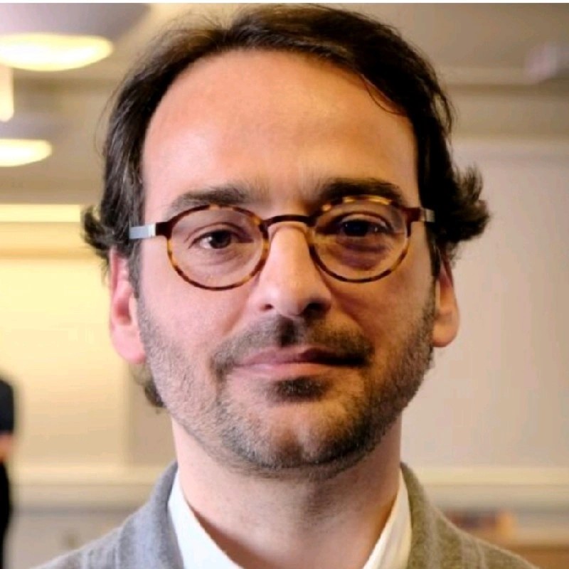
Nuno Almeida is recognised for his boundary spanning and multistakeholder collaboration approach. He has for 25 years been engaged with entrepreneurial, professional, research and academic activities focused on protecting and deriving value from critical infrastructure, building portfolios, equipment and advanced industrial facilities, of both the public and private sectors, towards more resilient cities and societies. Nuno’s activities span the construction, real estate, water, waste, energy, transportation, energy, defence and education sectors.