Science cluster & challenges

Summary
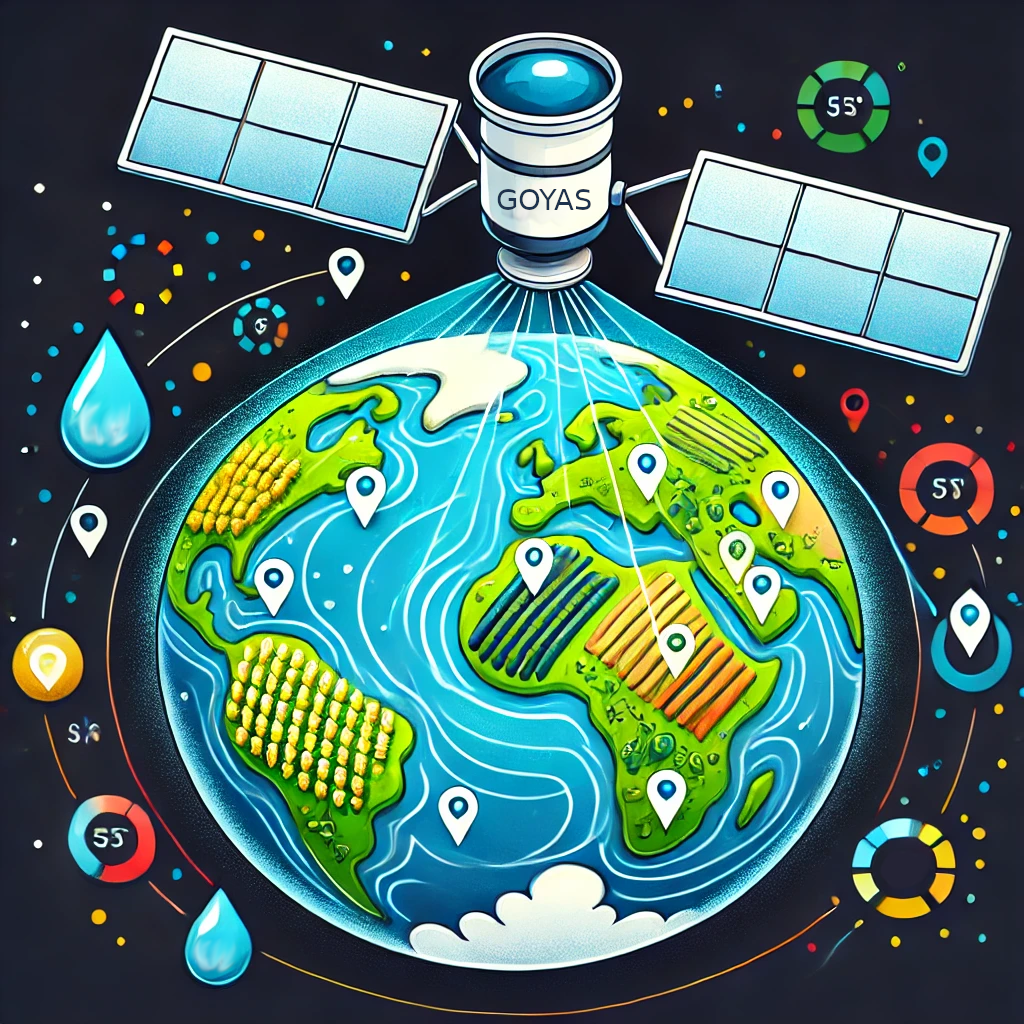
The use of data generated through remote sensing (satellites, drones, etc.) has progressively increased since the 1970s. Its usefulness has been demonstrated in the global monitoring of Earth Systems, which is essential in a climate change scenario. This wealth of data has proven invaluable for environmental assessments, resource management, and scientific research. However, simply providing access to these datasets is not enough. To ensure reproducibility and reusability, data must be accompanied by comprehensive metadata and documentation, and has to adhere to the FAIR principles. The GOYAS project aims to establish a robust data management system that supports the lifecycle of experimental and discontinuous remote-sensing products, facilitating their integration into the EOSC to enhance their accessibility and reproducibility across various research domains.
Challenge
Open Science project, Open Science Service, Cross-domain/Cross-RI
Remote sensing data must be accompanied by adequate metadata and documentation to make it effectively FAIR throughout its lifecycle. It is therefore necessary to establish mechanisms that facilitate, support, or automate the production of FAIR data. Research in Earth and Environmental Sciences using remote sensing often requires the definition of new data products based on new methods, or algorithms or when different sources are combined. These data products, generally experimental but with high added value, provide relevant and novel information for academic, economic, and management applications. Initiatives like Copernicus, despite their extensive data distribution capabilities, demand rigorous standards for data production and often fall short in accommodating novel methods, or alternative preprocessing techniques. This gap in the landscape of data management inhibits the potential for broader application across various domains, including academic research, environmental monitoring, and resource management.
Solution
GOYAS will establish a FAIR data system to manage the entire lifecycle of experimental or discontinuous remote-sensing products. This includes preprocessing original data sources to generate derived products, publishing the data and metadata in accordance with FAIR principles, and connecting these outputs to EOSC resources to facilitate analysis, interoperability, and reuse. The initial data to be published, due to the relevance and novelty of the methods used, include:
- EBD: Inundation maps, hydroperiod maps, and water turbidity maps of Doñana Protected Area
- IFCA: AI-driven water quality assessments
- ICM: Oceanographic data products
- ICMAN: Satellite-derived bathymetry
Scientific Impact
The scientific impact of the GOYAS project lies in its ability to fill critical gaps in the accessibility and reusability of high-value remote sensing data, addressing the needs of diverse stakeholders across academia, industry, and government. Many remote sensing products, such as inundation maps and water quality data, are valuable but lack visibility, access, or integration into existing data-sharing frameworks, and are thus unavailable to users despite their potential importance for research and environmental management. GOYAS will publish these products in a FAIR-compliant manner, enhancing ecosystem monitoring and research. This will benefit diverse scientific communities, from oceanography and hydrology, to biodiversity, ecosystem research, or marine biology. In addition, it will support the efforts of research infrastructures in the Earth and environmental sciences, such as those in the ENVRI Science Cluster, as well as environment monitoring initiatives, such as LTER.
Results
- Data portal deployed: Geodata portal is deployed as beta version at https://www.goyas.csic.es/
- Pipeline v1 released: Version 1 of data ingestion pipeliene is published in gitHub
- First release - Workflow: https://doi.org/10.5281/zenodo.19813466
- Geonetwork: forked version: https://doi.org/10.5281/zenodo.19813517
Publications
- Blending physical and artificial intelligence models to improve satellite-derived bathymetry mapping | DOI
- Caballero, I.; Heredia, S.; Costas, S.; & Stumpf, R. P. (2026). Routine bathymetric mapping of tidal inlets using Sentinel-2. Engineering Geology, 108719, DOI: https://doi.org/10.1016/j.enggeo.2026.108719
- Satellite-Derived Bathymetry in Alaska: A Case Study of Challenges and Opportunities Influenced by Turbidity. - Under revision
- Barba-Ceballos, P.; Heredia, S.; Navarro, G.; Rosado, B.; Roca-Mora, M.; & Caballero, I. (2026). Unsupervised machine learning applied to Sentinel-2 time series for monitoring coastal lagoon water quality. Journal of Hydrology, 135346, DOI: https://doi.org/10.1016/j.jhydrol.2026.135346
- Bathymetric mapping of intertidal flats using the Sentinel-2A/B/C satellites to support shellfish harvesting - Under revision
Events
- 23 September, 2024 | Online - EOSC - ES Tripartite Event 2024
- 30 April, 2025 | Vienna, Austria - EGU 2025 - Presentation at the European Geoscience Union plenary. GOYAS: A FAIR-by-Design System for Innovative remote-sensing data products
- 10 June, 2025 | Kick-off “Alianza Observa”
- 13 October 2025 | Brisbane, Australia - Poster: “GOYAS Project: FAIR-by-design platform for Innovative Remote Sensing Data” at International Data Week 2025 – RDA Plenary
- 14 October 2025 | Brisbane, Australia - Presentation at SciDataCon about GOYAS: “FAIR-by-design Pipelines to ensure reproducibility and transparency of innovative remote-sensing Data Products”.
- 3-8 May 2026 | Vienna, Austria - EGU 2026 - Presentation about GOYAS: “GOYAS: A FAIR-by-Design Remote Sensing System for Innovative Environmental Monitoring”
- 8-11 June 2026 | Cáceres, Spain - Poster presentation "Aplicación de los principios FAIR en el desarrollo de una plataforma de datos de teledetección: aprendizaje del proyecto GOYAS" at the XXI Congreso de la Asociación Española de Teledetección — AET 2026
Principal investigator
Dr. Fernando Aguilar Gómez is a Tenured Scientist at IFCA (CSIC-UC), participating in different national and international projects (EU FP7, H2020 and HORIZON EUROPE) related to computing, data science and data management. He received the Ph.D. degree in Science and Technology from the University of Cantabria in 2017. His research work has been developed in the field of data science, specifically, focusing on its connection with advanced computing technologies and related to diverse disciplines like ecology, biodiversity or remote-sensing.